


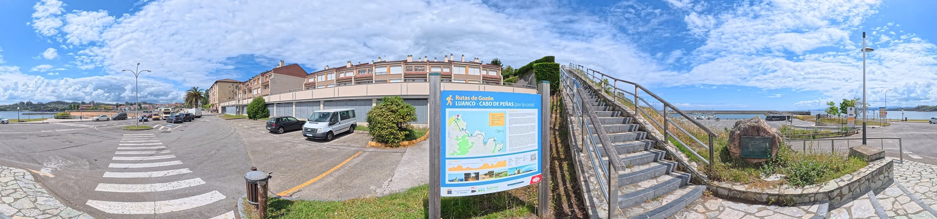
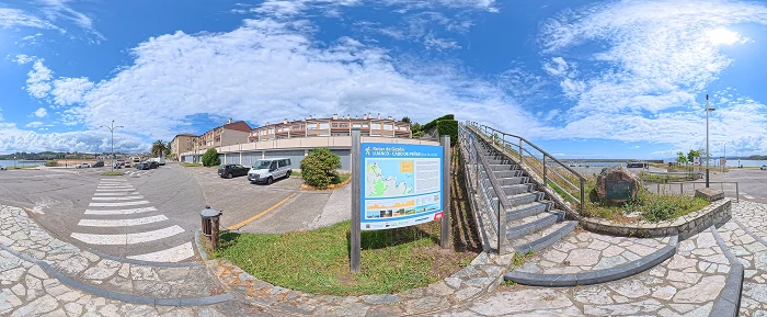
Luanco Coastal Trail to Cabo Peñas
Start of the route
The trail, which has recently been upgraded and equipped with official signage from the “Senderos de Asturias” network, begins at Luanco Beach. From the Gayo area, we’ll climb a set of stairs that run parallel to the new marina until we reach La Mofosa Park, a spectacular viewpoint from which to enjoy the ocean views.
From La Mofosa to Moniello
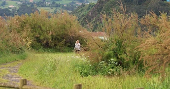
Further on, we enter a eucalyptus forest through which the trail winds until we reach a turnoff that leads us to Punta de la Vaca, a prime spot for observing migratory seabirds and a breathtaking panoramic viewpoint. Returning to the main route, we’ll reach a junction where we’ll turn right, heading downhill, toward Ensenada de Moniello. There, a flight of stairs leads us to Moniello Beach Park, a place of extraordinary beauty equipped with picnic tables—ideal if you’d like to take a break along the way.
From Moniello to Llumeres
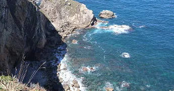
Following the coastline, the path leads us to a junction that takes us toward Bañugues Beach. After skirting the beach, a small trail takes us to the sidewalk along the GO-1 highway (Luanco–Cabo Peñas), which we’ll follow to the end of the straight stretch. At this point is the small town of La Ribera, where we’ll cross a wooden bridge to continue along a trail through meadows. The route climbs toward the El Monte area, rejoining the GO-1 road, which we’ll follow along the pedestrian path on its right-hand side until we reach the Llumeres Recreation Area. From here, we can see the remains of the Llumeres iron mine,
From Llumeres to Cabo Peñas
The route continues along a path that descends steeply toward the beach, although we’ll turn left before reaching it to climb back up the elevation we’ve lost. On a challenging ascent, we’ll leave the village of Viodo on our left and descend again along a trail to the peak of Serreu. Taking a narrow trail to the left, we’ll descend until we cross the Cueva stream, then climb through an area of pleasant vegetation to a trail from which we can already see the Cabo Peñas lighthouse in the distance. Continuing in that direction and avoiding the side paths, we’ll tackle a steep descent before turning left onto the path that runs parallel to the park-and-ride lot. After a right turn, the trail winds between plot boundaries on an uphill stretch to the AS-328 highway, which we cross to join the pedestrian path on the left bank that leads directly to the lighthouse.
End of the Trail
The end of the trail brings us to the majestic Cabo Peñas, the northernmost point of the Principality and one of Asturias’ most outstanding natural sites. As a final note, for more experienced hikers who aren’t afraid of heights, there’s the option of making a short, careful climb up to the cross located at the very tip of the cape, where you can peer out over the ocean abyss at the northernmost point of the north.
This way, you keep the exact same text, but it’s much easier to read on the web. Plus, each block aligns quite well with the natural stages of the journey.